

CHCNAV LandStar
Land Surveying and Mapping App
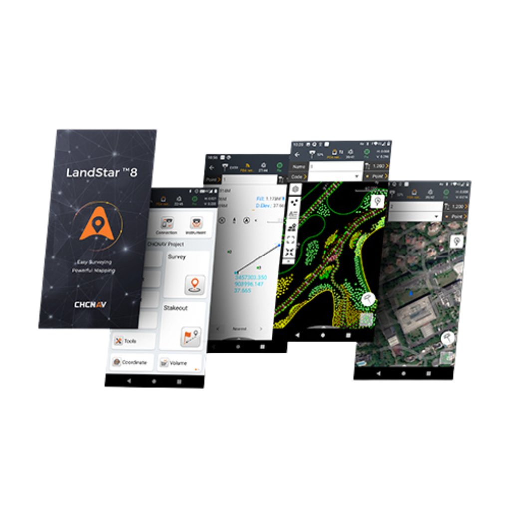
LandStar 8 is a trusted data collection app for Android devices and CHCNAV controllers, streamlining high-precision surveying and mapping with easy-to-use workflows and an intuitive graphical interface.
It includes all necessary surveying functions such as construction surveying, control point measurements, CAD support, and efficient stakeout of points, lines, and surfaces.
Compatible with industry-standard data formats for seamless import and export, LandStar 8 ensures immediate productivity gains.
Land Surveying and Mapping App
LandStar 8 is a trusted data collection app for Android devices and CHCNAV controllers, streamlining high-precision surveying and mapping with easy-to-use workflows and an intuitive graphical interface.
It includes all necessary surveying functions such as construction surveying, control point measurements, CAD support, and efficient stakeout of points, lines, and surfaces.
Compatible with industry-standard data formats for seamless import and export, LandStar 8 ensures immediate productivity gains.
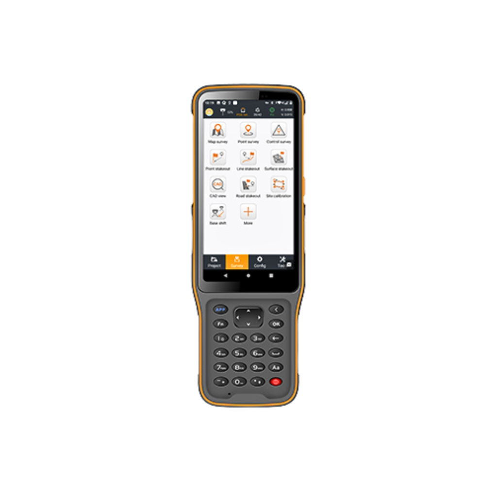
Comprehensive Surveying Features
Use LandStar 8 for construction surveying, control point measurement, native CAD files support, fast and accurate point, line and surface stakeout, road construction and GIS data collection.
Advanced CAD Mapping
LandStar 8's proprietary MetaCAD graphics engine opens DWG and DXF files faster and with smoother rendering. The app supports DXF files up to 200 MB and smart functions like "Quick Code" automate feature coding to increase productivity.
Efficient Project Management
Get started quickly with LandStar 8's easy project setup. Copy coordinate settings, control points, and stakeout points from another controller and use coordinate systems, geoid models, and code libraries.
Enhanced Data Import/Export
LandStar 8's comprehensive import and export format support ensures seamless integration into existing software environments. The application is compatible with industry-standard data formats for easy data sharing and integration.
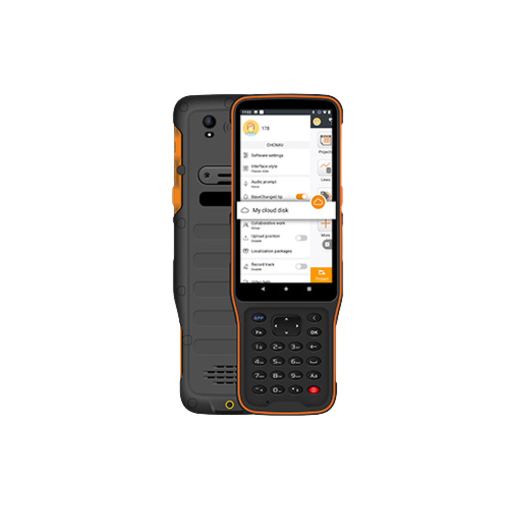
Extended Cloud Connectivity
LandStar 8's cloud-based architecture supports project backup, collaboration, data storage, and remote support capabilities, enabling efficient communication between the field and the office.
User-Friendly Interface
LandStar 8's intuitive layout makes surveying and mapping easy. Large map windows and graphics display only relevant information, hiding unused features and streamlining operations.