
CHCNAV LT800
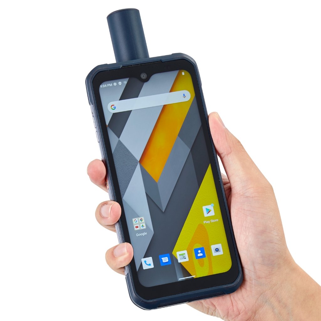
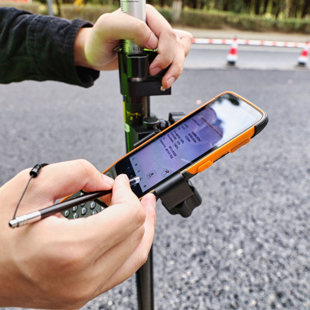
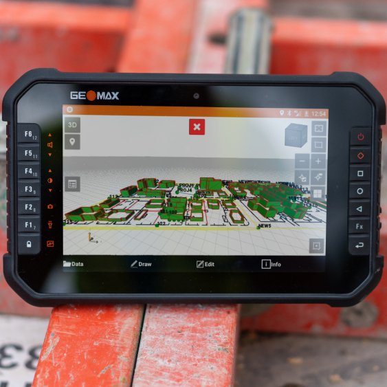
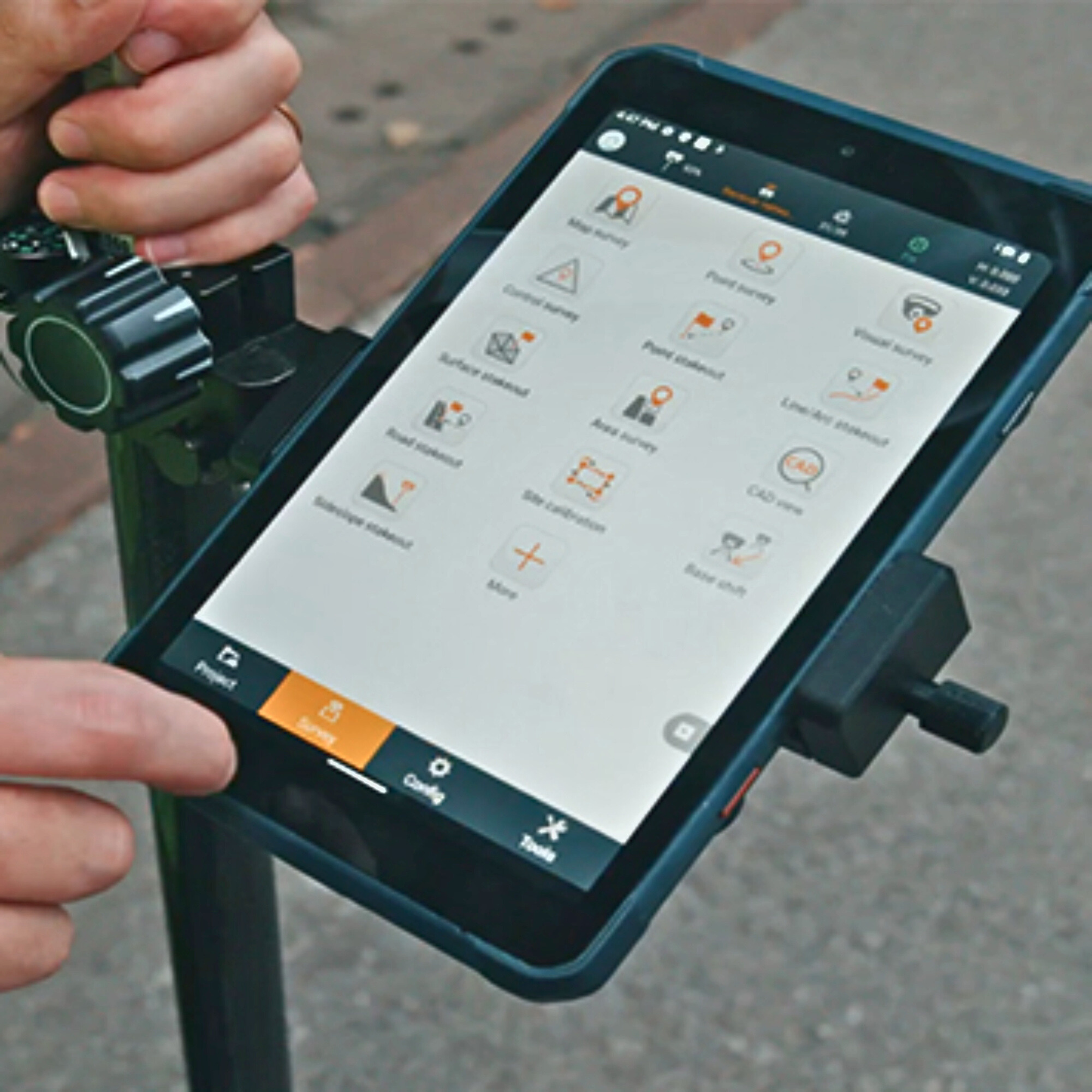
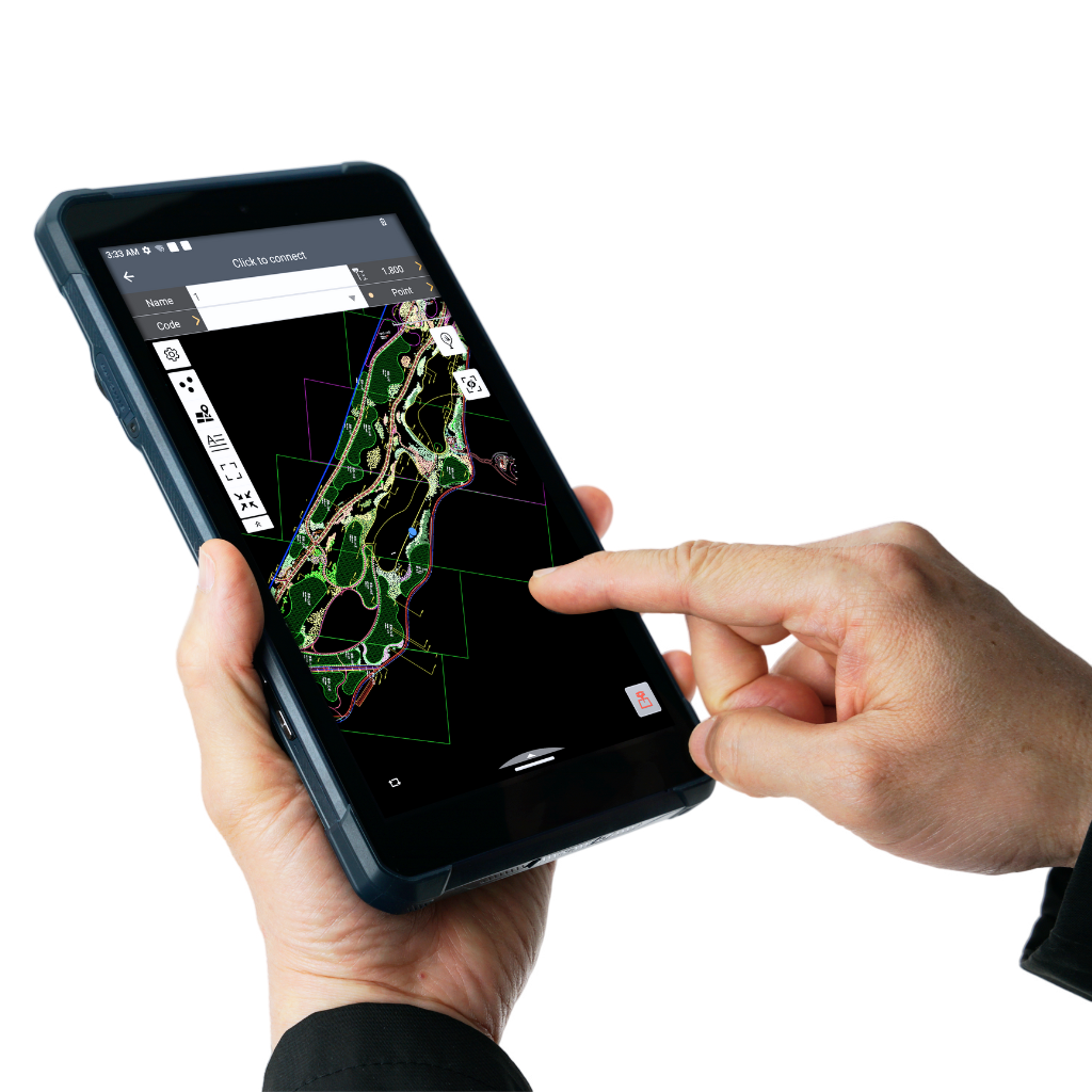
The LT800 increases the efficiency and productivity of mobile workforces engaged in tasks requiring meter-level GNSS positioning accuracy and consistent performance. Its 8.1" sunlight-readable display ensures that GIS data maps and images are easily viewed even in bright lighting conditions.
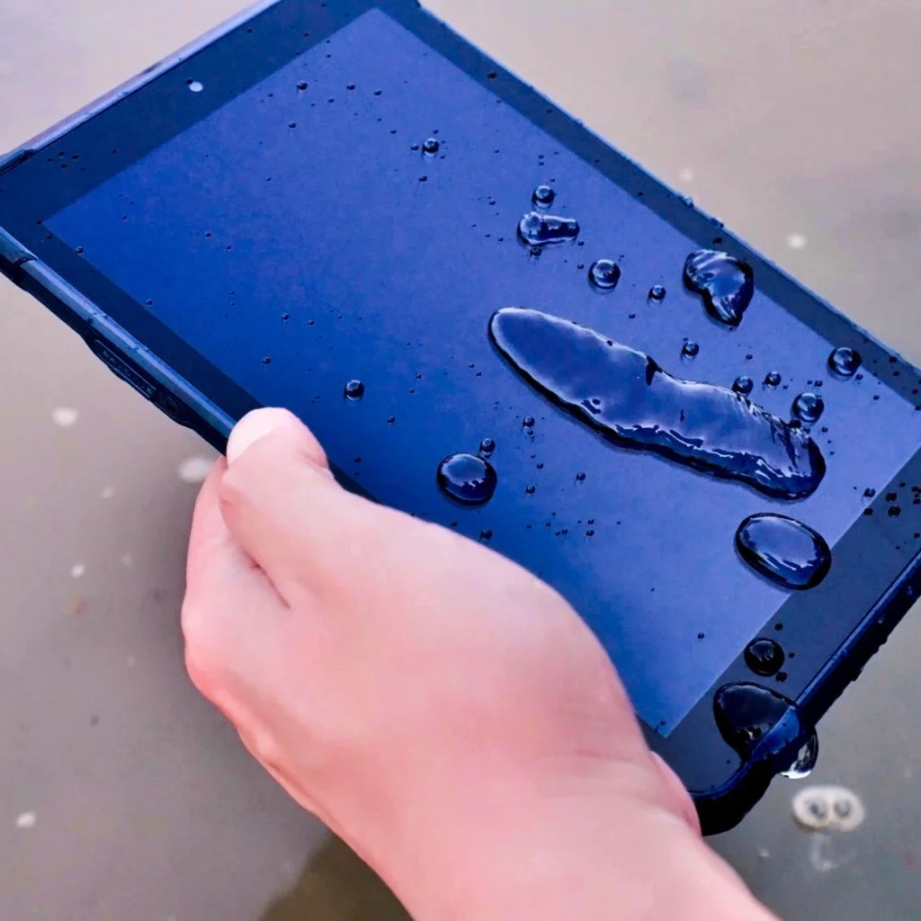
Built to withstand the rigors of daily field use in harsh environments, the LT800 is the first choice for field teams facing tough conditions.
The LT800 increases the efficiency and productivity of mobile workforces engaged in tasks requiring meter-level GNSS positioning accuracy and consistent performance. Its 8.1" sunlight-readable display ensures that GIS data maps and images are easily viewed even in bright lighting conditions.
Built to withstand the rigors of daily field use in harsh environments, the LT800 is the first choice for field teams facing tough conditions.
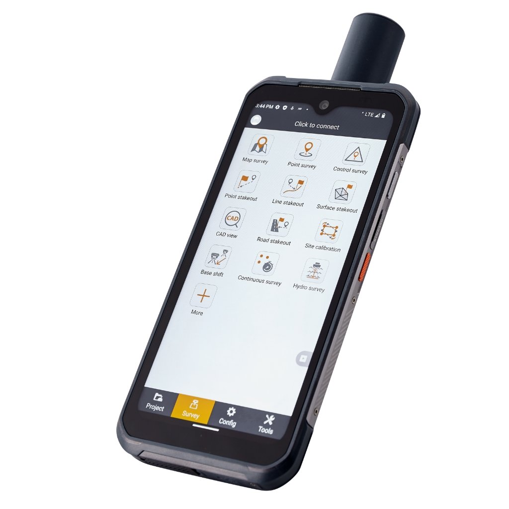
High-Sensitivity GNSS Module
Achieve reliable GNSS positioning with the LT800's 45-channel GNSS module. Supporting GPS, GLONASS, Galileo, BeiDou, QZSS and SBAS it delivers meter-level positioning accuracy in challenging environments.
High-Performance Processing
The LT800’ 2.0 GHz octa-core CPU handles large maps and data sets without lag, ensuring seamless data collection. The dual-SIM 4G modem provides fast and reliable connectivity, enhancing communication between field teams.
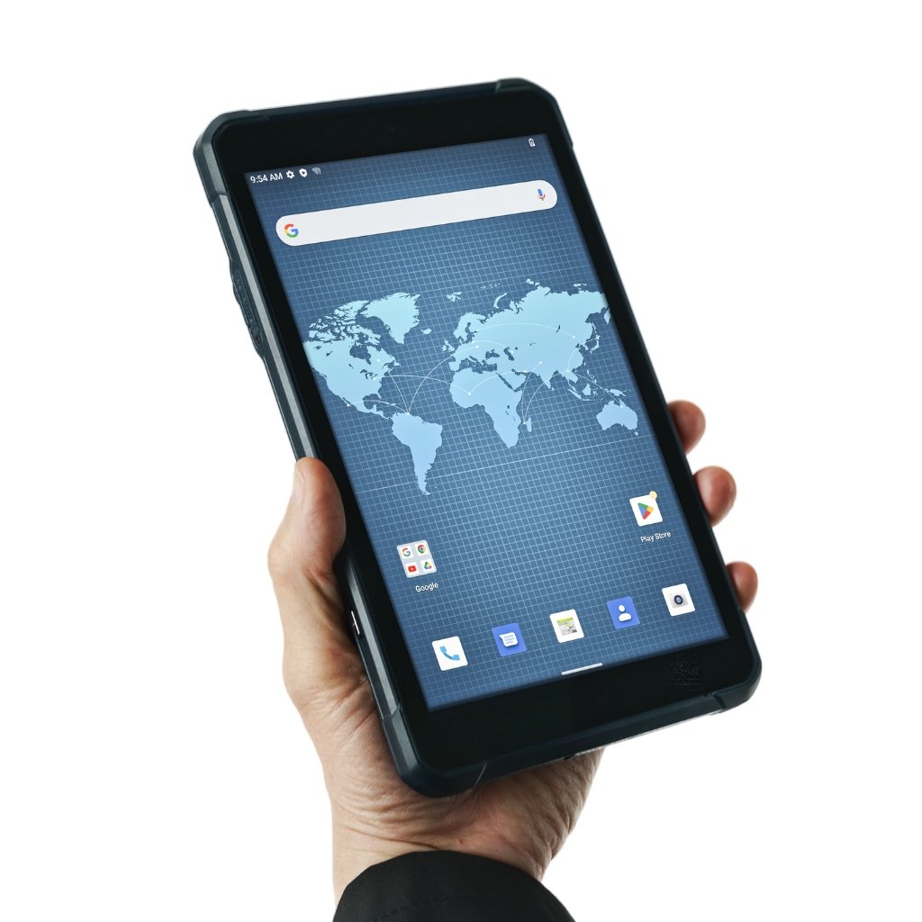
GMS Certified for Compatibility
Ensure seamless integration with enterprise data collection applications. The LT800’s Google Mobile Service (GMS) and Android Enterprise Recommended (AER) certifications provide assurance of software compatibility and optimal performance.
Sunlight-Readable Display
Operate efficiently in any lighting condition with the 8.1" Corning Gorilla Glass 3 IPS touchscreen. Offering 600 nits brightness, the display provides clear visibility of GIS data, complex vector maps, and high-resolution images, even in direct sunlight.
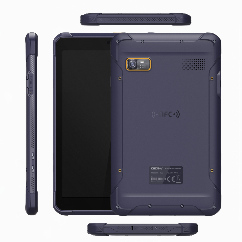
High Portability
At only 550g, the LT800's lightweight design makes it ideal for GIS data collection, environmental monitoring and landscaping. Built to withstand harsh conditions, the LT800 is designed to perform in the field.
Comprehensive Connectivity
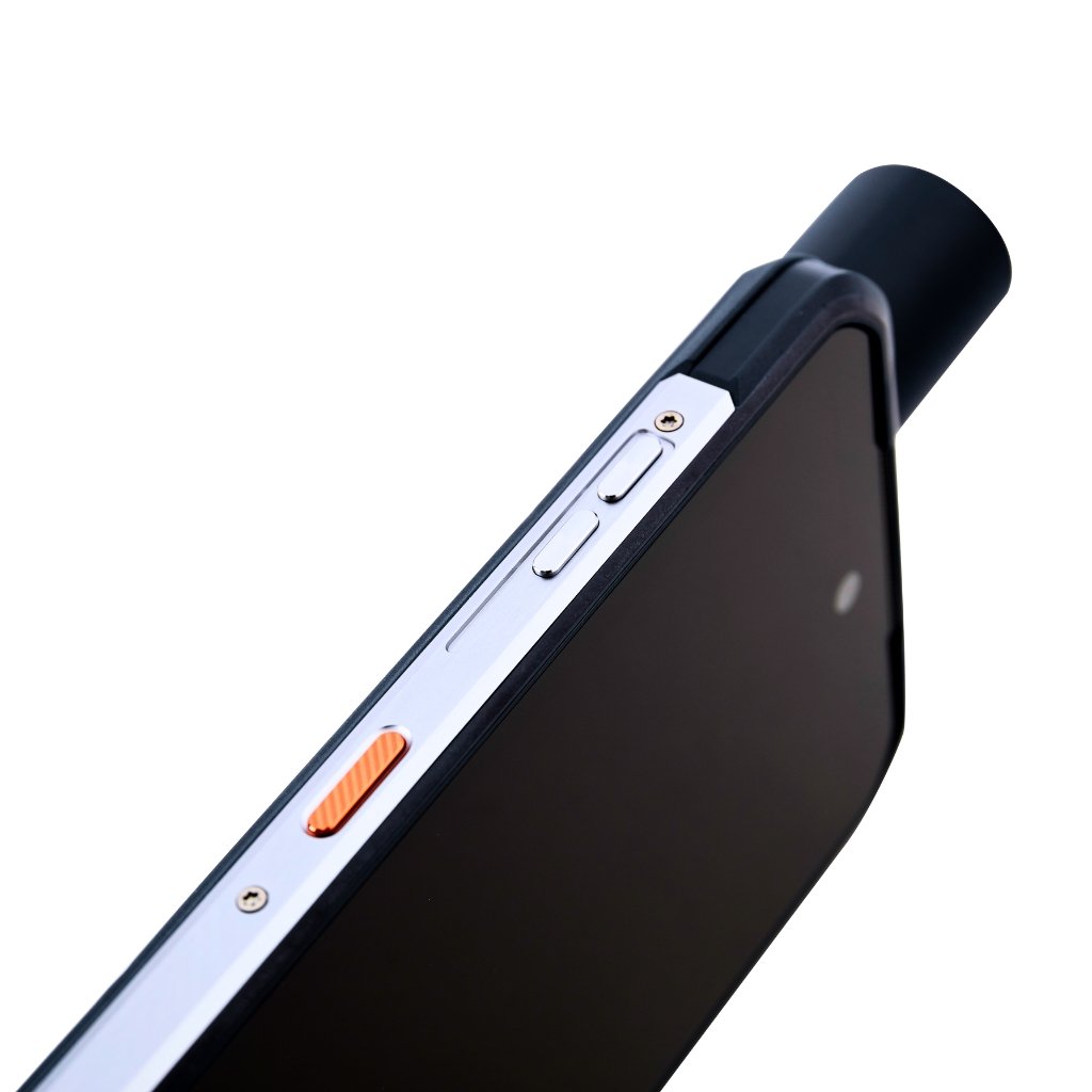
Stay connected with the LT800's versatile connectivity, including WiFi, Bluetooth 5.1, NFC, and a built-in 4G modem for efficient data transfer and communication to deliver superior operational efficiency.