


CHCNAV AlphaUni 20
The AlphaUni 20 is a cost-effective, premium-class multi-platform mobile mapping system that embodies CHCNAV's advanced LiDAR technology.
Designed for precise point cloud generation, it is ideal for applications including pavement assessment, highway maintenance, and asset management through vehicle-based surveying.
In airborne applications, the AU20 increases survey efficiency with excellent vegetation penetration, long measurement range, and high data accuracy and density.
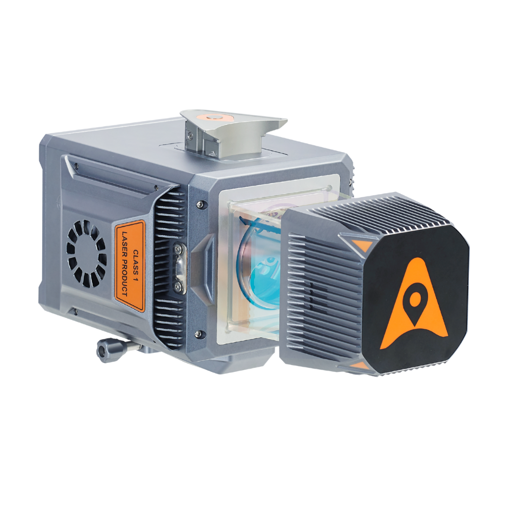
High-Precision Data
Achieve outstanding accuracy with the AU20 advanced navigation algorithm and 5 mm repeated ranging accuracy. Ensure precise point cloud generation even in demanding environments.
Long-Range Scanning
Benefit from long-range capabilities up to 1450 meters and high-speed scanning at 2 million points per second. Cover large areas efficiently with high-density data collection.
Superior Vegetation Penetration
Capture ground surfaces effectively with up to 16 target echoes. Generate accurate DEMs and DSMs even in densely vegetated areas, improving data quality in challenging environments.
Multi-Platform Flexibility
Easily switch between crewed and unmanned aircraft, land vehicles, and backpack setups. Enjoy versatile applications from road surveys to airborne mapping, enhancing operational flexibility.
Rugged and Lightweight Design
Operate in various field environments with the IP64-rated, lightweight (2.82 kg) AU20. Ensure reliable performance and easy integration with multiple platforms, from UAVs to vehicles.
Efficient Workflow
Streamline your data acquisition with SmartGo software for real-time mission monitoring and CoPre software for intelligent point cloud processing. Achieve high-quality results with minimal effort.
Quick Installation
Install the AU20 quickly with Alphaport's one-click connection. Minimize setup time and maximize productivity across various survey missions.