

Discover CHCNAV Geospatial Solutions!
Now Available in New Zealand

Surveying Technology

Total Stations
See the range of accurate GeoMax Manual and Robotic Total Stations.
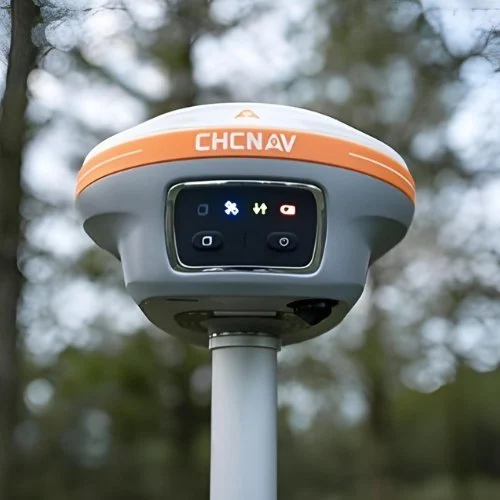
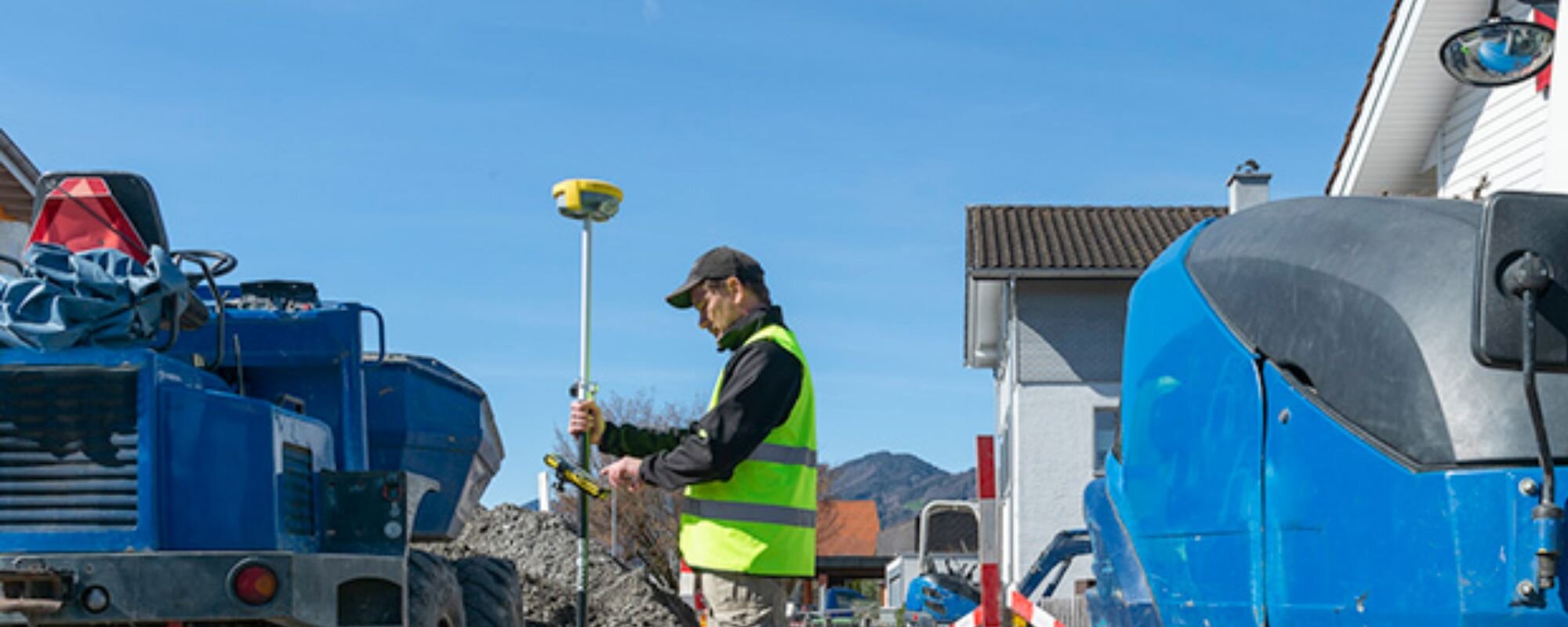
GNSS Antenna
Ultimate reliable GNSS Base and Rovers with Tilt Compensation options.
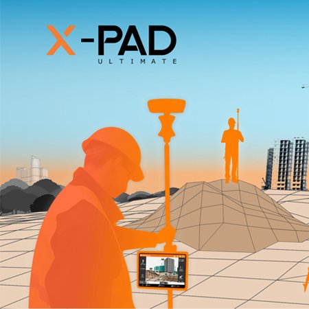
Surveying Software
GeoMax X-PAD Software built for all your surveying needs.
3D Mobile Mapping
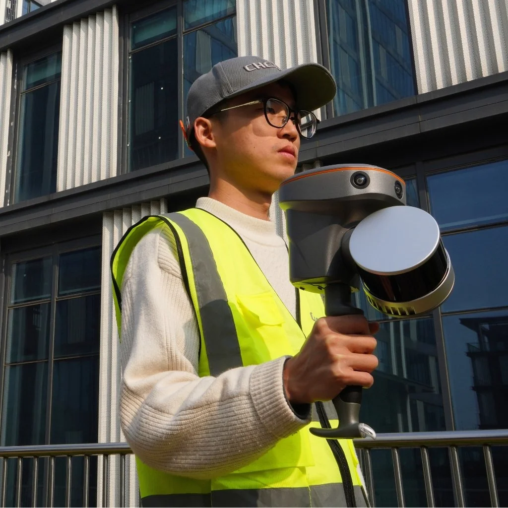
Handheld Laser Scanners
Capture detailed 3D measurements and models on the go with lightweight and versatile handheld laser scanners.

UAV Platforms
Perform efficient and flexible aerial surveys with advanced UAV platforms designed for your geospatial applications.

Airborne LiDAR Systems
Conduct large-scale topographic surveys with high-resolution airborne LiDAR systems for unparalleled accuracy.
Construction Equipment

Rotating Lasers
See our wide range of construction lasers from horizontal only to dual grade.
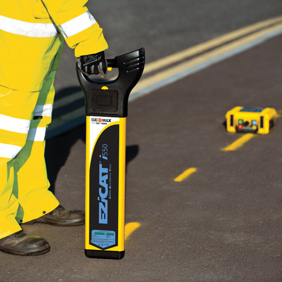
Utility Detection
Put safety first with the cable locators and ground penetrating radar solutions.

Pipe Lasers
Robust, fully water and dust proof GeoMax pipe lasers are made for tough environments.

The Ultimate One-Person Survey Set Up
Now available with 3 month no-interest payment plan
We listen to our customers
“Overall the experience with BuildMax has been a very positive one and we rate their servicing highly, very good service all round.”
Julie Brosnan, Brosnan Construction
“We’ve enjoyed dealing with the knowledgeable team at BuildMax and would highly recommend them. They did what they promised every time which is really important to us. ”
Toby Stoff, Clark Fortune McDonald
“We particularly like the support we get and the open channel of communication with BuildMax, and the wider GeoMax team.”
Orrin Julian, Civil Survey & Design
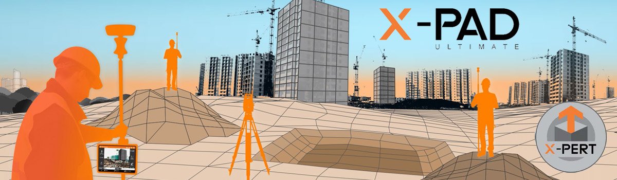
Latest Features of X-PAD Ultimate
The great thing about technology is it's always evolving! Discover the new features in the latest update of GeoMax X-Pad Ultimate Survey Software.
Subscribe to our newsletter
Sign up here to receive product news and customer stories straight to your inbox and be the first to know about special offers!